
FAQ- Demographics
Alaska Map – How big is Alaska?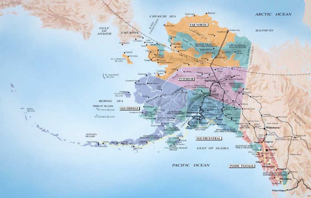
Alaska covers 570,373 square miles of land, plus an additional 45,000 square miles of water. It’s the biggest state in the country. Alaska is 2.3 times the size of Texas, 10 times the size of Georgia or Florida; and 499.7 times the size of frequent comparison victim Rhode Island. Alaska covers 20 percent of the total U.S. area. Alaska stretches across 57 degrees, 34 minutes of longitude between 52 and 54 degrees latitude.
What time zone is Alaska in?
A state the size of Alaska needs it own time zone. We are one hour behind the Pacific Time Zone and four hours behind the East Coast Time Zone. When it is 12 noon in New York, then it is 8:00am in Anchorage.
Where can I find a map of Alaska?
Online
For information on Alaska’s highway systems, including the marine highway, go here: http://www.dot.state.ak.us/stwdplng/scenic/index.shtml
You may also order an official Alaska state map for free!
Paper
Printed maps of Alaska can be purchased at bookstores in many states and convenience stores throughout Alaska for about $5. Also, check for free-
Atlas
The Alaska Atlas & Gazetteer, an oversize book, is a favorite in the state for its topographical maps. It costs about $20 and is available at many large bookstores and through online bookstores. Like many maps, it is based on the U.S. Geological Survey series of topographical maps.
by mbacusfalls